The future ofsmart farmingis here.
We combine satellite imagery, drone data, and AI to give farmers real-time insight into every acre — transforming operations while increasing yields by up to 40%.
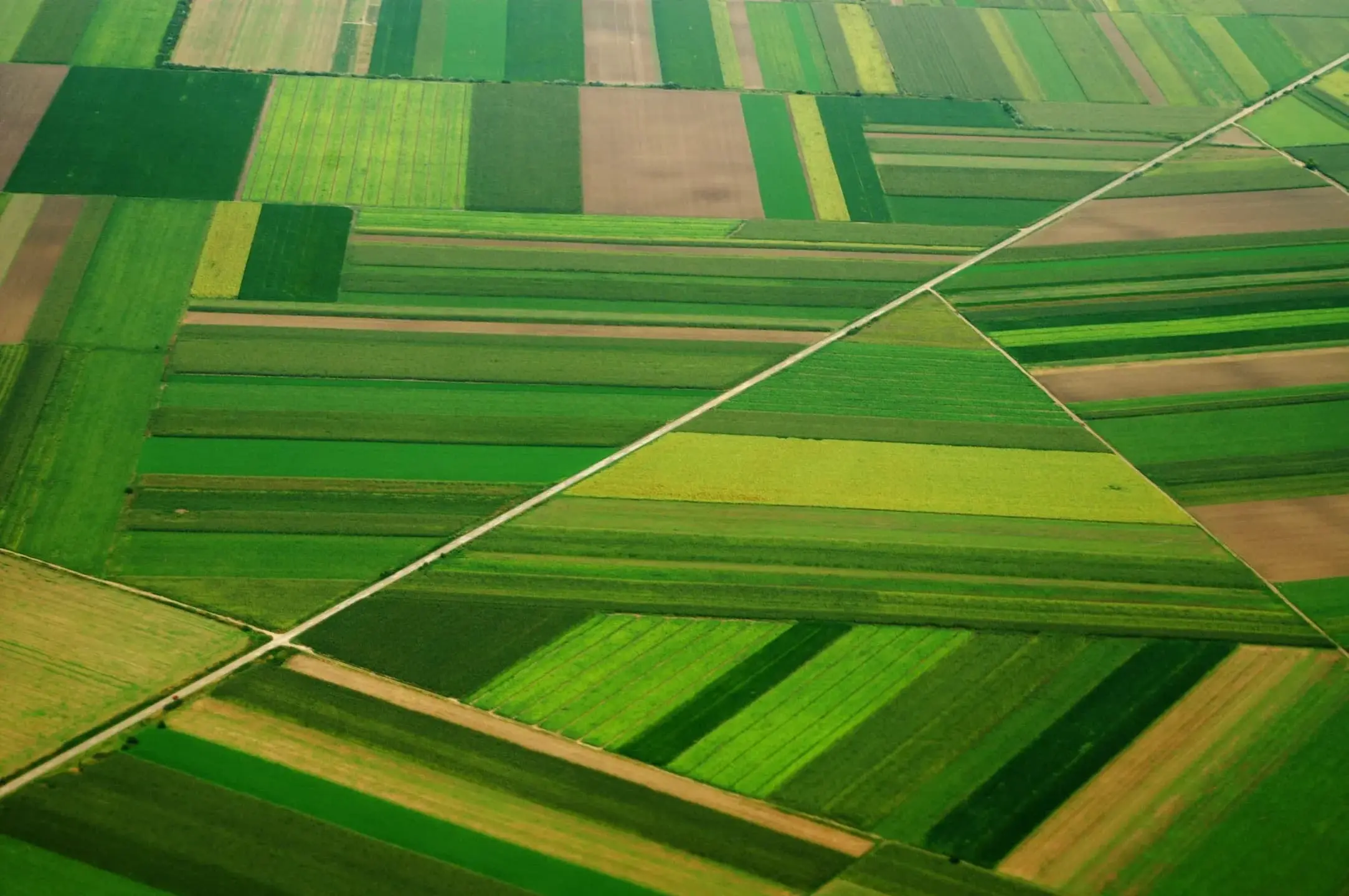
Everything a modern
farm needs, in one place
A single platform to manage, analyze, and optimize agricultural operations — built for the realities of running a working farm.
AI-Powered Analytics
Advanced machine learning models analyze your data to provide actionable insights and predictive recommendations.
IoT Integration
Connect sensors, drones, and weather stations for comprehensive real-time monitoring of your fields.
Mobile-First Platform
Manage your entire operation from anywhere with our powerful mobile apps for iOS and Android.
Precision Mapping
GPS-enabled field mapping with zone management for targeted interventions and resource allocation.
Financial Analytics
Track expenses, forecast revenue, and optimize profitability with comprehensive financial tools.
Community Network
Connect with thousands of farmers, share knowledge, and access expert agricultural advice.
From space to soil
At Mapletech, we bring space technology to your fields with advanced satellite monitoring that provides unparalleled insight into crop health and environmental conditions.
Our AI-powered platform analyzes satellite imagery to detect potential issues days or weeks before they become visible to the naked eye — enabling proactive management and maximizing yield potential.
Proactive Crop Health Monitoring
Timely alerts about crop stress, nutrient deficiencies, or diseases before they escalate.
Real-Time Field Intelligence
Instant alerts when our AI identifies potential issues across your fields.
Historical Trend Analysis
Compare current crop health against past seasons to identify yield-impacting trends.
Weather Pattern Integration
Satellite data combined with weather forecasts for predictive analytics.
Built on enterprise-grade infrastructure
We use the latest technologies to ensure scalability, security, and reliability.
Artificial Intelligence
Advanced ML models trained on millions of data points
Cloud Infrastructure
99.99% uptime with global CDN distribution
Mobile Technology
Native performance with cross-platform efficiency
Sustainable Operations
Carbon-neutral technology
256-bit Encryption
Bank-level data protection
Data Backup
Automated daily backups
99.99% Uptime
Always available
Measurable results
that drive success
Join thousands of farmers achieving unprecedented growth with data-driven insight.
Average across all users
Per farm, annually
Through smart irrigation
Growing community
Mapletech has completely transformed how we manage our 50-acre farm. The AI recommendations have increased our yield by 45% while reducing water usage by 30%. It's like having an agricultural expert in your pocket.
Farm intelligence
in your pocket
Monitor crops, receive AI-powered alerts, and manage your entire farm operation from anywhere — designed for agricultural workflows on mobile devices.
Real-time Sync
Works seamlessly online/offline. All data syncs automatically when connection is restored.
AI-Powered Alerts
Smart notifications for weather, irrigation needs, pest warnings, and AI recommendations.
AI Image Analysis
Instant crop and pest identification with treatment recommendations from photos.
Farm Dashboard
Live · Just now
South Field needs irrigation within 24 hours.
Grow with us, transform agriculture together
Whether you're an investor, partner, or farmer looking to revolutionize agriculture, join us in building the future of sustainable farming.
Start a Conversation
Typically respond within 2 hours
Global Reach
Serving farmers countrywide
Nakuru, Kenya
East Africa HQ
Remote Team
Global Tech Center
Partner Network
40+ Counties
Business Hours
EAT Time Zone